Maps of Iceland – Antique Maps of Iceland 1482-1850

Gerð ÚtgáfuárSíðurVerðMagn
Innbundin 2017 181 8.490 kr.

Maps of Iceland – Antique Maps of Iceland 1482-1850

8.490 kr.

Maps of Iceland - Antique Maps of Iceland 1482-1850
Gerð ÚtgáfuárSíðurVerðMagn
Innbundin 2017 181 8.490 kr.

Um bókina

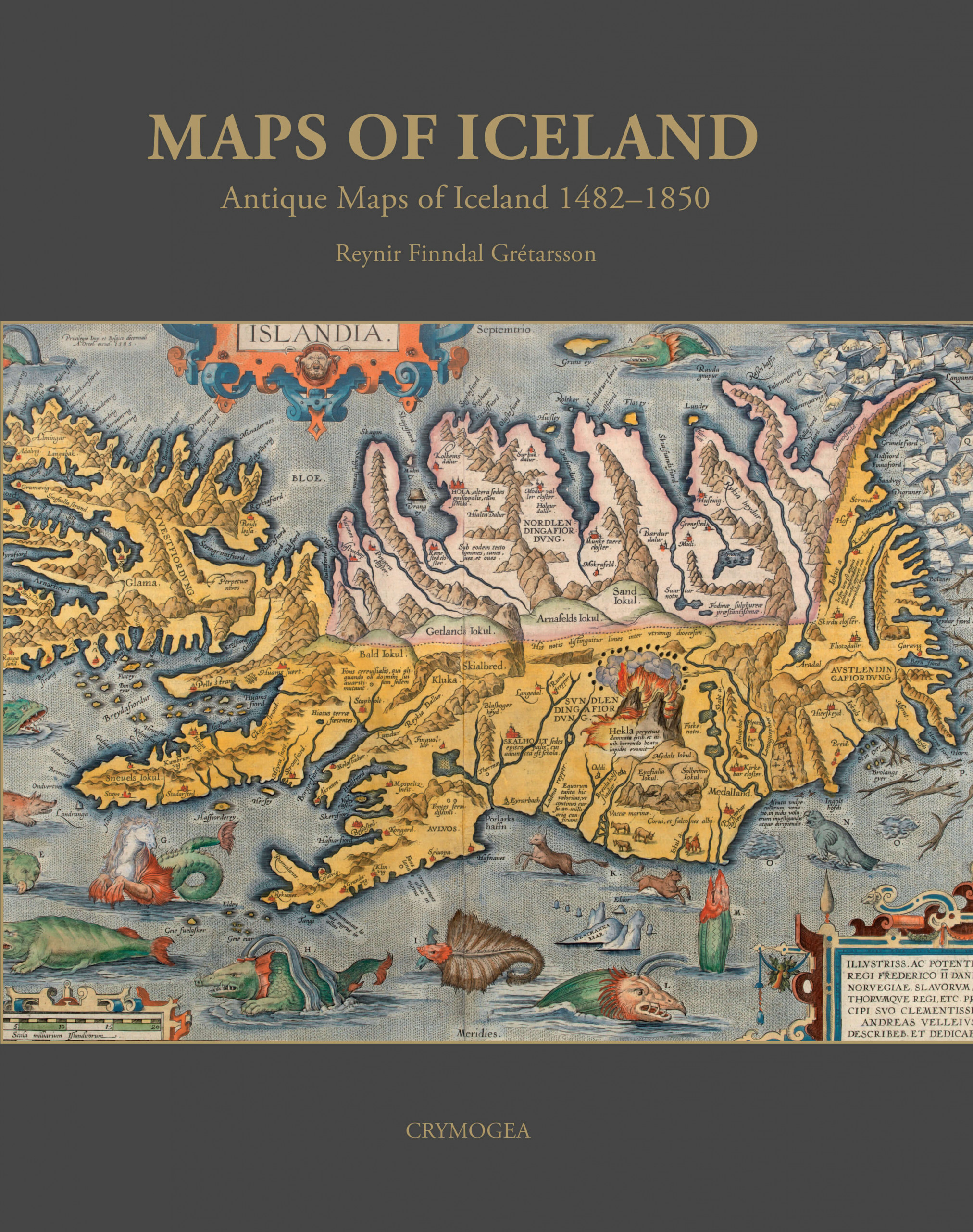
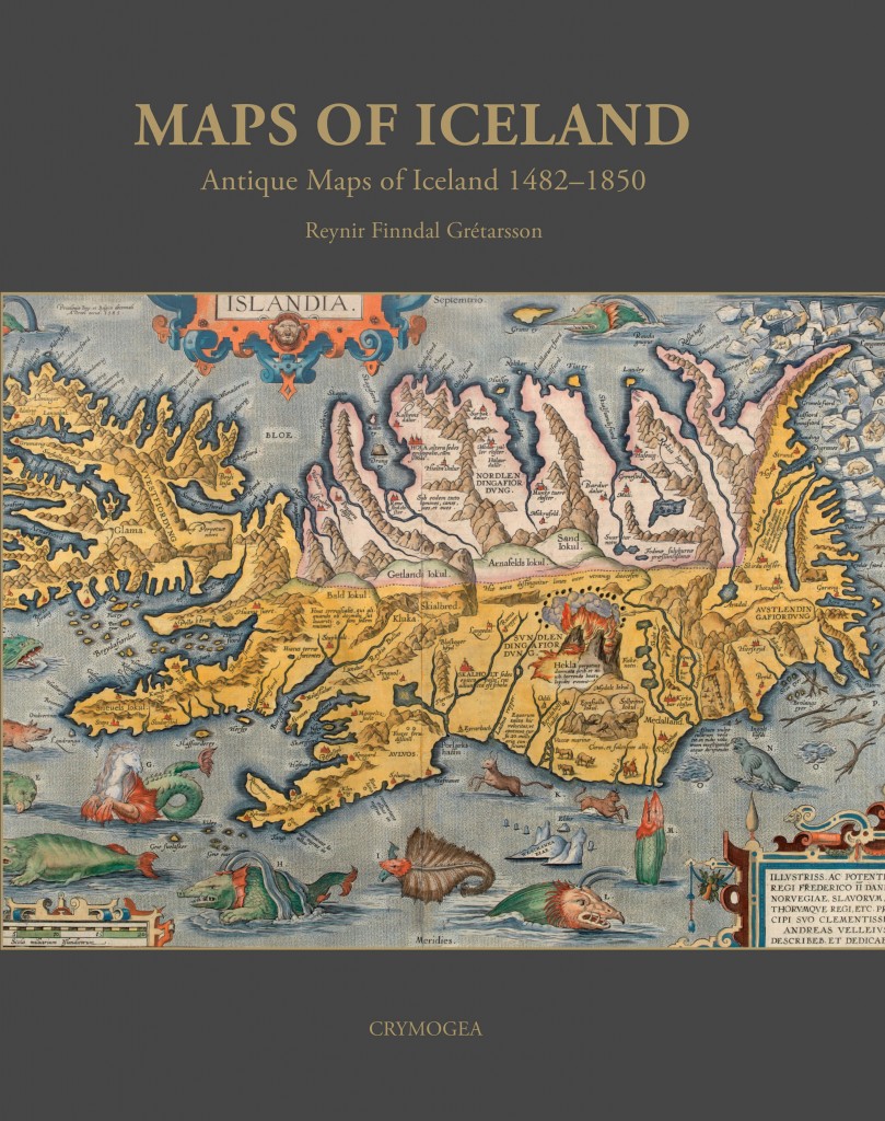
Maps of Iceland tells the story of how Iceland appeared on printed maps. The starting date is 1482 when the country appeared in the Ulm publication of Ptolemy’s Geographica. The book traces the increase in interest and corresponding knowledge about Iceland and the far North, a region which at the time was very muc h associated with mystique and danger.

It tells of the great maps of the Dutch Golden Age of Mapmaking and the different ways in how the country was depicted, using the scientific methods of mapping based on accurate measurements. The narrative draws to a close around 1850, with the advent of the first modern detailed map of Iceland.

Tengdar bækur

Placeholder
kr.
2.690 kr.
3.590 kr.
Placeholder
4.890 kr.
2.390 kr.
1.890 kr.
1.890 kr.
1.490 kr.
3.690 kr.
Arctic Heroes
14.990 kr.
Flogið aftur í tímann
5.890 kr.
Stones According to Egill Sæbjörnsson
900 kr.
Iceland – Contrasts in Nature
990 kr.
This is the Golden circle
1.490 kr.
Faces of the north
4.990 kr.
Magical Iceland
2.590 kr.
In Aporie
3.900 kr.
Íslenskar þjóðsögur - ensk
2.190 kr.
Iceland – Beyond Expectation
1.590 kr.

INNskráning

Nýskráning